Intures was requested to map corridors for a clien to make use of in their multi-year maintenance plan.
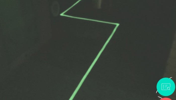
As part of a larger project, which we have been working on for a year, we were able to map a complex corridor system under a factory for a client. The aim of this project was to provide insight into the exact course of the corridor system and to determine the available facilities.
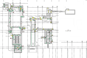
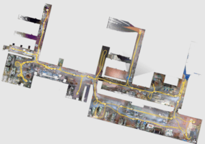
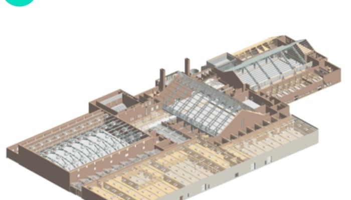
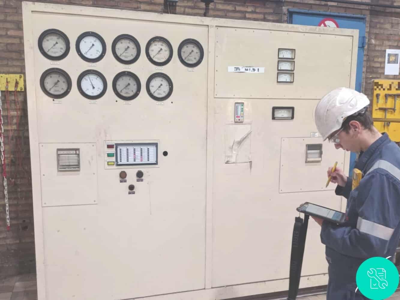
Available design drawings did not provide our client with sufficient insight into the desired situation. For this project we started by scanning the corridor system with our Navvis VLX 3D scanner. The available data was then modeled into a 3D model. The 3D model was used as a basis for inspection work to show the exact course of the corridor system under the factory, while also serving as a data carrier to indicate the facilities present in the exact location that was found during the inspection work.
After recording in the field and the preparation of inspection data on the drawing, the final inspection was carried out and the results were presented and delivered to the client. With this insight, the client can update their multi-year maintenance plan and have the desired maintenance activities carried out .