Intures has mapped a number of very large and particulary complex production plants. This with the aim of drawing up usage notification drawings with all relevant fire safety provisions indicated for the purpose of the environmental permit.
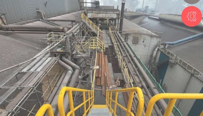
3D scan of entire area
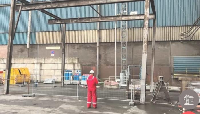
By means of a of a 3D laserscanner, a point cloud of the entire area was first generated. By using point clouds, it is a lot easier and faster to generate floor plans and section drawings of a building. After the floor plans have been drawn up, inspectors go into the field to determine where exactly the fire safety provisions have been installed. These can be processed onto the drawing directly, while in the field.